Chilly gusts and stubborn clouds cap Ombaha highs in the 40s
Wind chill drops 4 to 8 degrees below actuals as drizzle lingers, with a potential freeze arriving by Saturday morning.
By Sanjay Ivanov ·
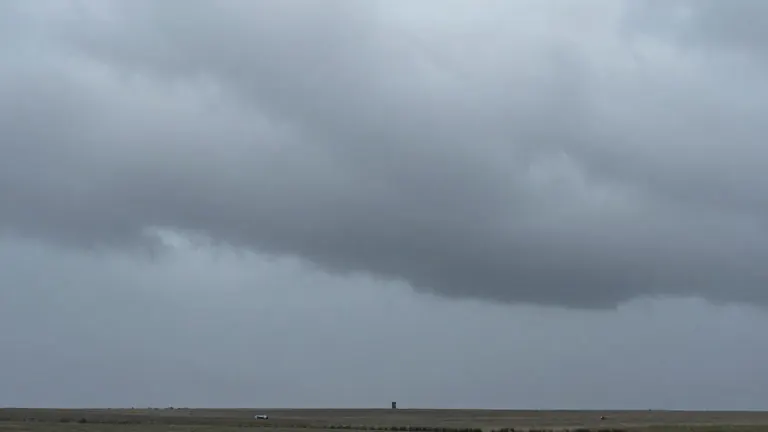
Cloud cover will dominate the Nebraska sky on Tuesday, preventing the region from warming into the afternoon. Highs will struggle to reach the upper 40s, leaving temperatures largely stagnant throughout the day.
Norwesterly winds gusting between 20 and 30 mph will create a wind chill factor of 4 to 8 degrees cooler than the actual air temperature. Sporadic drizzle will occur, though no heavy precipitation is forecast. Light showers may persist into the early hours of Thursday, accompanied by continued strong winds.
Thursday brings a brief period of rain that should exit quickly, followed by slowly decreasing cloud cover. Models disagree on the speed of the clearing, creating uncertainty in the high temperature. A slower clear would result in a high in the lower 50s, while faster clearing could push the high into the mid-50s.
Although widespread sunshine is not expected Thursday, it represents the next opportunity for prolonged clear skies. More clearing is likely on Friday, accompanied by potential early morning fog. The weekend offers a sharp improvement, with highs in the lower 60s for both Saturday and Sunday.
Residents should monitor conditions on Friday and Saturday mornings for possible frost or a freeze. Current forecasts indicate temperatures in the upper 30s for most areas during those early hours. Mild air is likely to return for much of the following week as the month progresses.
Source: WOWT